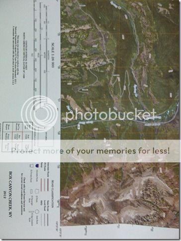
I got in the mail today my new USGS topo map. I used to carry topo maps with me all the time but now with the GPS and google earth you don't need as much. But I did do some research on maps and found what appears a "new"?? map. It is labeled for 2012 so it must be new for this area at least. It is a topo map with elevation/contour lines over top of satellite imagery map. Kinda neat so I had to get one. They are $15 instead of the usual $8. It also took a couple weeks. I called today and the receptionist said they don't print this one till friday or something. When I got off the phone Fedex walked in the shop and delivered it. 30 or 26
")