goodgrouper
Well-Known Member
To beat the unrelenting heat we've been having (105 degrees) Uncle B and I decided to hike up out of it last week. Our mission was twofold. Get out of the heat and get back in shape for the upcoming sheep hunt.
So we packed up the water filter, sidearms, and cameras and headed up Mt Timpanogos in Utah County. This is the most famous hike in all of Northern Utah with a summit peaking out at just under 12,000 feet. The hike is roughly 15 miles round trip and has an elevation gain of about 5000 feet from trailhead to summit. The trail passes by many waterfalls, a perpetual snowfield often called a "glacier" (which is the southernmost of these snowpiles in the US), a b-25 crash site, a mountain shelter building, and about 75+ mt goats. Then to top it all off, the summit has a triangulation station built atop a little shack that can be seen from anywhere in the valley with optics. There is also a log in book for people to sign who have summited.
The hike is pretty grueling and air gets REALLY THIN the last 3 or 4 miles to the top. Crampons are a good thing to have as well as lots of sunscreen and a sled to slide down the glacier from the summit.
Anyhow, here are some pics I took with my little Minolta camera which is the perfect lightweight companion for hikes like these!
Goats on cliff. How did they do that?!

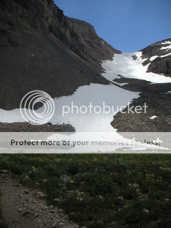
The "glacier"
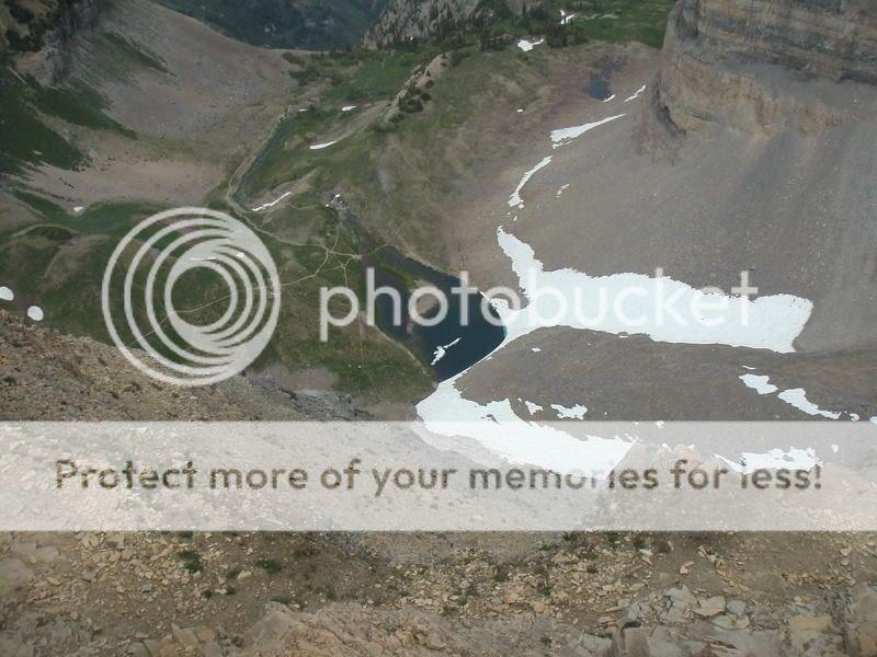
This is from Emerald lake (over 10,000 feet) looking up at the triangulation station. Still 1500 feet of vertical left to go!

On the summit looking back down at the site of the last photo:
Log book in shack:

Inside the shack:
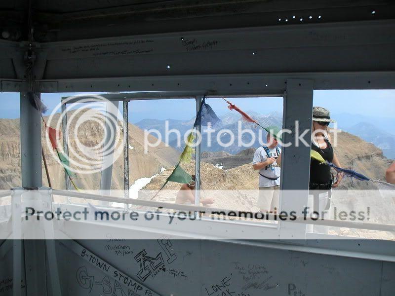
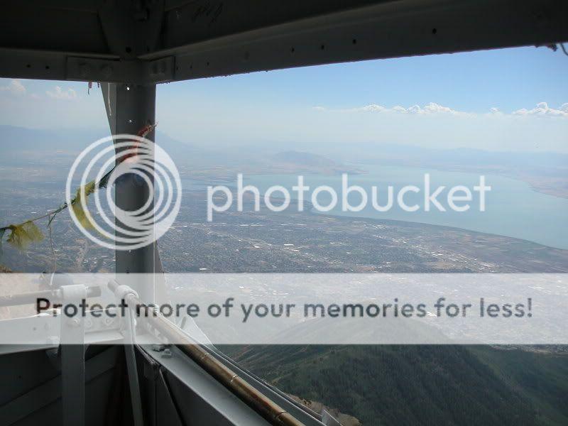
Window on the world from summit:
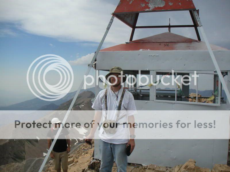
yours truly on top:
So we packed up the water filter, sidearms, and cameras and headed up Mt Timpanogos in Utah County. This is the most famous hike in all of Northern Utah with a summit peaking out at just under 12,000 feet. The hike is roughly 15 miles round trip and has an elevation gain of about 5000 feet from trailhead to summit. The trail passes by many waterfalls, a perpetual snowfield often called a "glacier" (which is the southernmost of these snowpiles in the US), a b-25 crash site, a mountain shelter building, and about 75+ mt goats. Then to top it all off, the summit has a triangulation station built atop a little shack that can be seen from anywhere in the valley with optics. There is also a log in book for people to sign who have summited.
The hike is pretty grueling and air gets REALLY THIN the last 3 or 4 miles to the top. Crampons are a good thing to have as well as lots of sunscreen and a sled to slide down the glacier from the summit.
Anyhow, here are some pics I took with my little Minolta camera which is the perfect lightweight companion for hikes like these!
Goats on cliff. How did they do that?!
The "glacier"
This is from Emerald lake (over 10,000 feet) looking up at the triangulation station. Still 1500 feet of vertical left to go!
On the summit looking back down at the site of the last photo:
Log book in shack:
Inside the shack:
Window on the world from summit:
yours truly on top: